Location
On day 8 we set out on the road headed to South Point where we were destined to investigate yet another cone, enjoy the marvels of the green sand beach, and make a few leisure stops on the return home.
 From our starting point at the parking lot (Stop 1), we hiked a couple miles along the Hawaiian coastline in order to reach another cone to investigate.
Our initial survey of the cone was taken from afar (Stop 2). Through the blistering wind, heavy with ash and dust, we made an initial report of the outcrop. When observing the cone we were able to distinguish 5 units. Some of these units we speculated might actually have been the same layer, though they were not continuous, so from this vantage point we could not be confident that they were the same unit. The first layer that was at the base of the cliff appeared to be made out of a lava flow. Whether it was A’a or Pahoehoe was yet to be determined. Above this basal unit was a rather thick pyroclastic sequence, about 40 to 50 meters high. The next step was where things started to become less clear. Toward the top of the outcrop was a unit of ash deposits; toward the bottom there were light layers inter-fingered with darker layers. However, there was a void between the two, and the lack of a visibly continuous bed made it so that we would have to investigate further to decide if the two could be the same unit. Above this was a lava flow that was easier to identify and didn’t require as nearly as much debate. When we got just a little bit closer, we could see breccia on parts of the bottom of the flow, and continuously on the top. The breccia o the margins of the flow made it easily identifiable as an A’a flow. The final unit that we initially recorded was a fine ash layer seen close by where we were standing, as well as toward the top of the outcrop. Upon closer inspection, we decided to split this unit into two subunits: the low, finer red layer with root casts that we defined as a soil horizon complete with drying cracks characteristics of clays, and the upper, coarser yellowish ash layer. This was thee xtent of observations that we could make from here, so we headed up to the various contacts to try and put together the rest of the puzzle.
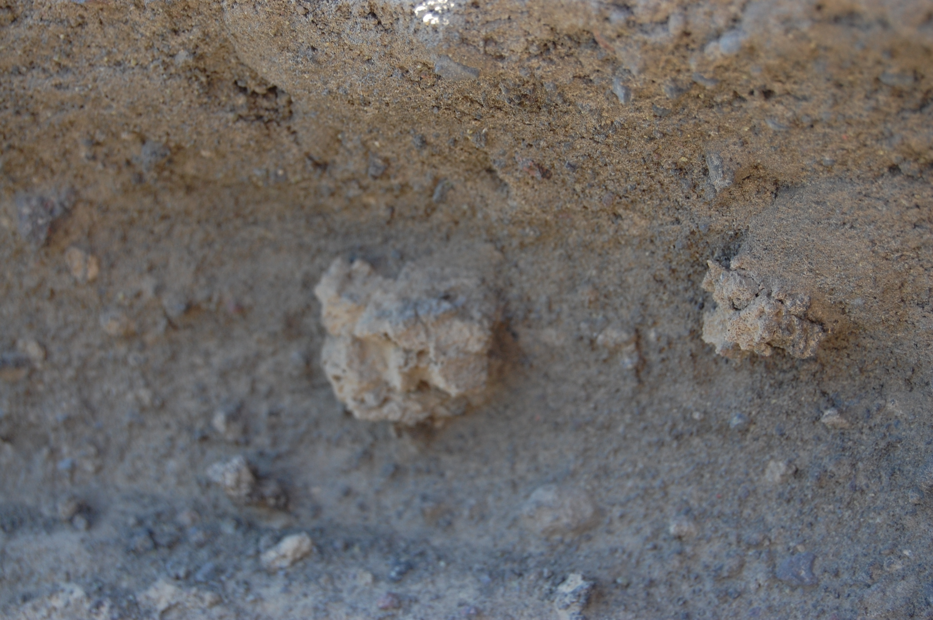
 We then went in for a closer lok at the cone. From a spot atop the cone overlooking the beach we checked out what was going on from a closer perspective (Stop 3). Layer two comprised of pyroclastic surge deposits which is basically a “cloud” like layer of hot ash that contains large chunks of lava rocks well cemented together. The layer of ash contained olivine crystals, small broken up pieces of vesiculated ash, and root structures. All of these constituents were layered in a cross bedded manner where each layer is crossing and cutting eat other off quite literally. The cross bedding in the layer indicated to us that this was not a simple ash deposit where the ash fell out of the vent and simple just fell down and deposited itself over the topography, but rather it was a surge of some sort. The olivine crystals are olive green minerals that were well incorporated into the layer. Most of the layer was comprised of broken pieces of vesiculated ash which in this case would be small ash fragments with lots of little holes in them caused by the gas that was present in the magma when it was about to be erupted out. What was most interesting about this layer is that it contained root structures that at first was considered to be wind shaped lava bombs, but in the end was concluded to be root structures because the ash that it was found in contains a lot of silicates. When organic material decomposes, it makes the surrounding more basic, increasing the pH concentration. When this happens, the silicate solubility decreases and is then incorporated into the root structure and basically petrifies it. What is so interesting about these structures is that it tells us that there was a time gap between the deposition time of the layer below it to this particular layer. Plants need time to grow and decay, so the fact that we find root structures in the layer that were talking about, means that the plants must have grown on the layer below said layer and then was covered by the top layer that we are speaking of.
As we headed down the cone and went behind it (Stop 4), we came upon what we called unit 2, which is the pyroclastic flow deposit. From our initial stand point, we found that it looked quite fine grained, but as we turned the corner, we noticed that the same section, behind the cliffs, had larger chunks of lava rocks in it. These rocks were quite vsiculated and imbedded in the fine pyroclastic 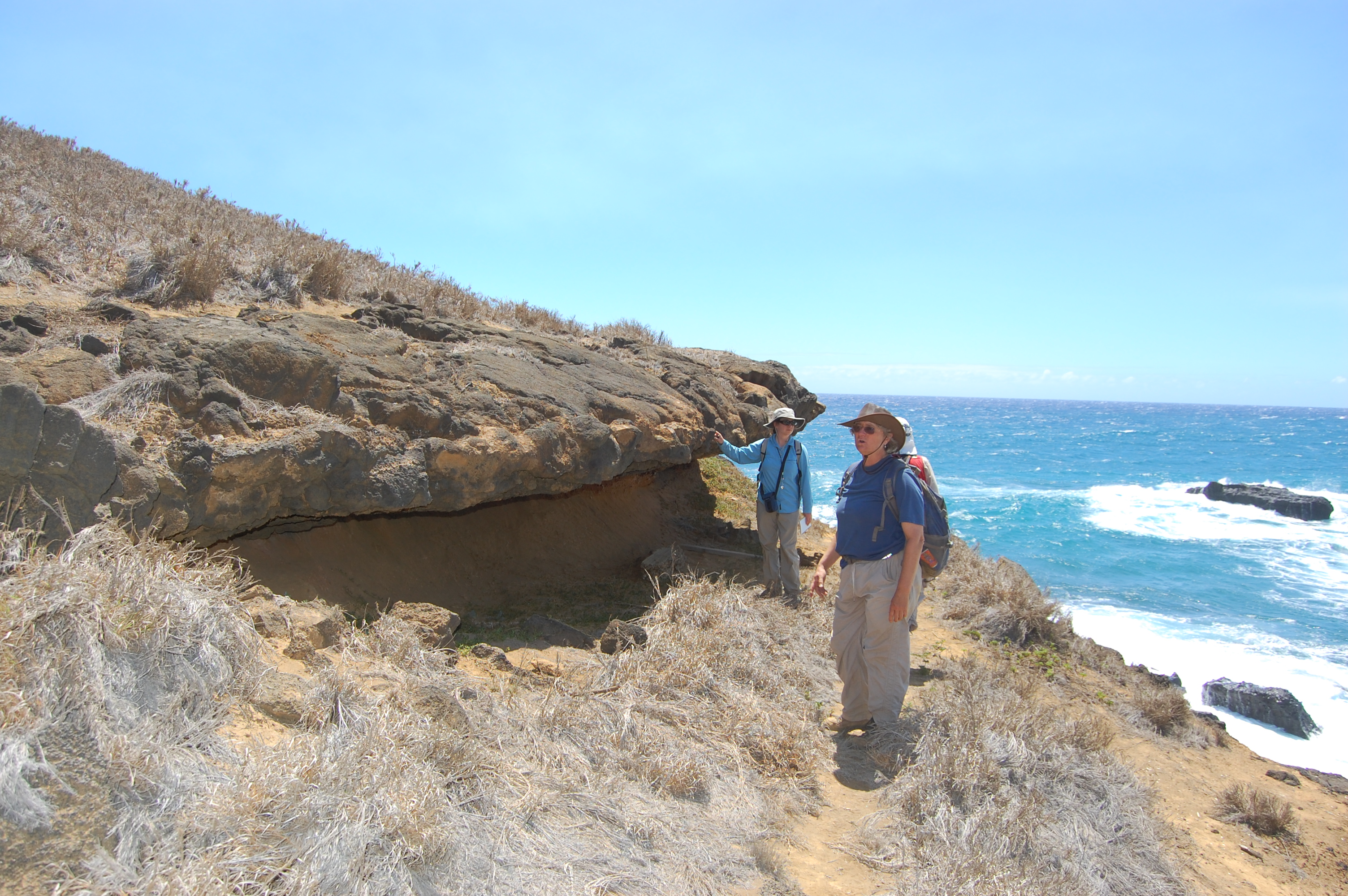 layer. This would indicate that the section that we saw, behind the cone, would have been closer to actual vent because larger clasts are too heavy to be carried far away from the center of the vent. We also observed the two distinct lava flows. When we were staring at them at our original viewpoint, we could only see one lava flow, whereas when we came to the other side, we found that there were two distinctive lava flows.
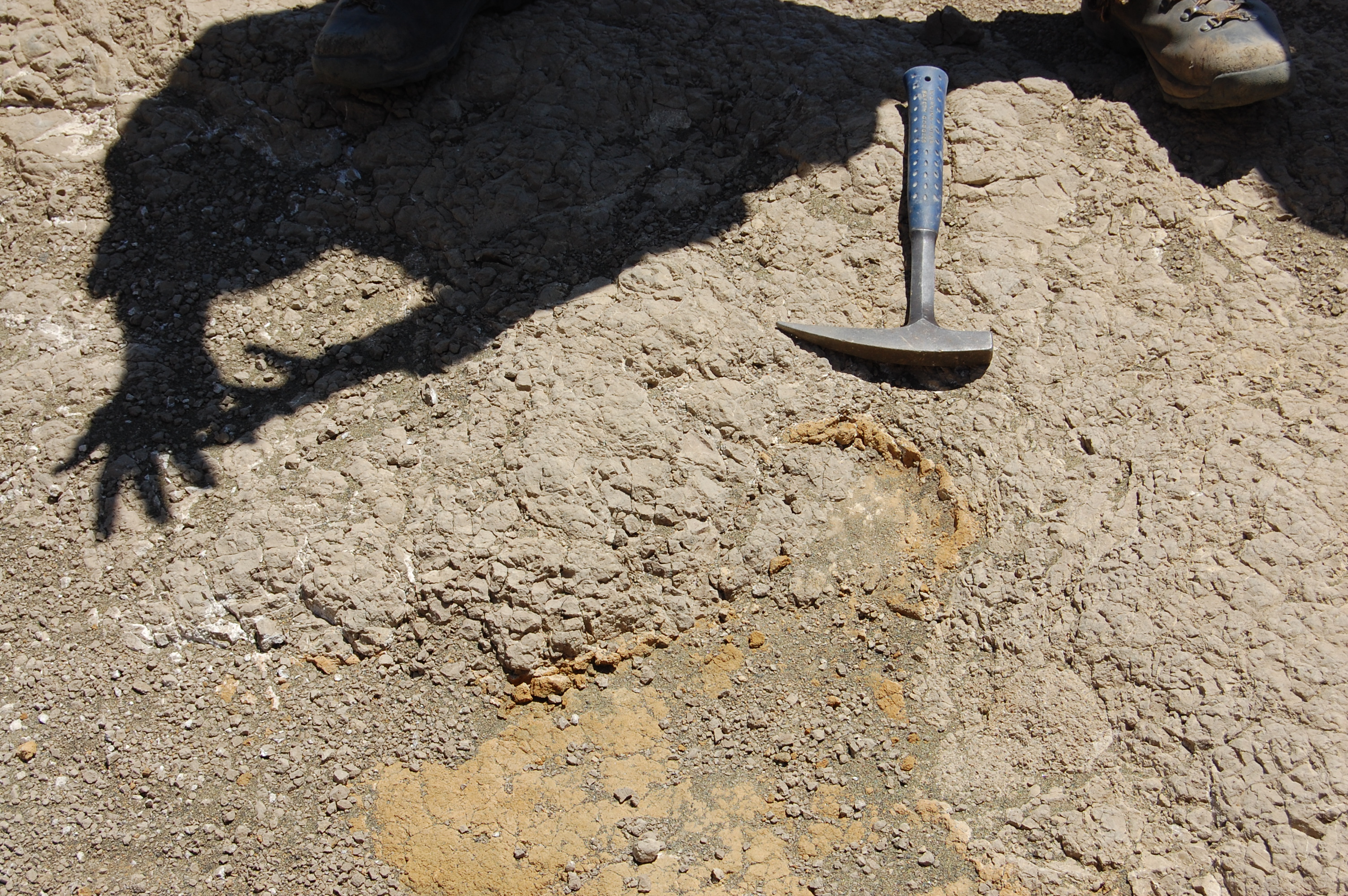 At the top of the hill (Stop 5), a light, cool grey blocky, silty deposit was found to be different from anything else on the cone. After climbing all over the formation, we came to the conclusion it was quite limited in scope, and that it made a lobe of material which thinned out from a thick center. It was difficult to find a clear contact with the lava flow unit, but on the flat top of the unit, a clear, swirling pattern was found, showing the flow of this muddy unit over the underlying dirt. This shows that this unit was a muddy flow with significant velocity during its deposition, to the point of it being able to pick up a bit of the underlying mud, swirling it together like a marble cake. The details of this fascinating feature documented, we moved on.
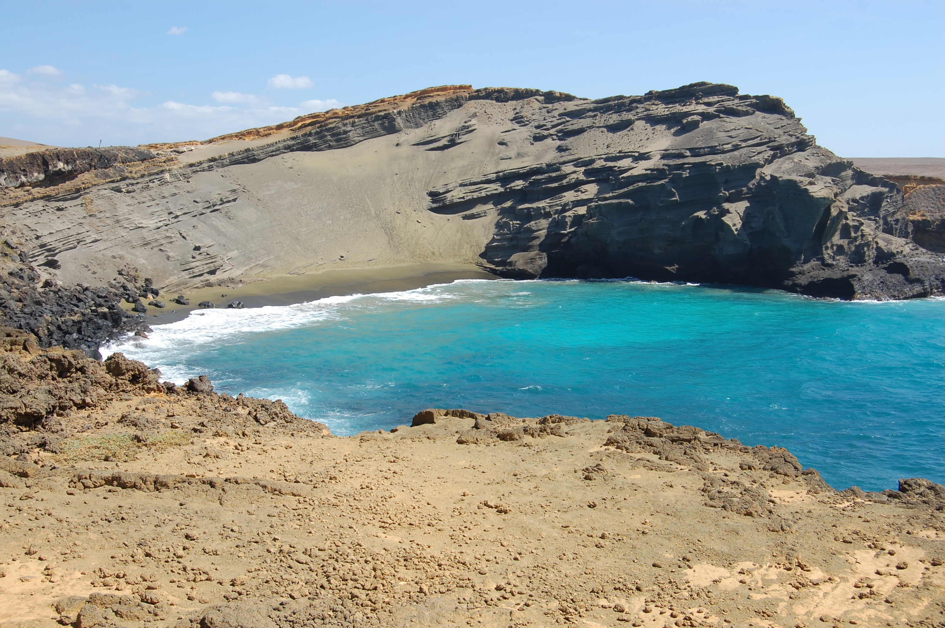
 After careful characterization of the outcrop, we at lunch down on green sand beach (Stop 6). On our way down, we saw larger pieces in the layers of deposits from the cone. These larger clasts are called "bombs." When the heavy bombs land on the layers of finer material, they make a little depression. In cros section we can see these little dips caused by the bomb landing, and they are known as bomb sags. Down on the beach, everyone marveled at the color of hte sand. Rich in olivine, the winds and waves spiced up our food with a bit of natural seasoning. Other tourists and their pets mixed with us on this beautiful southernmost tip of the United States.
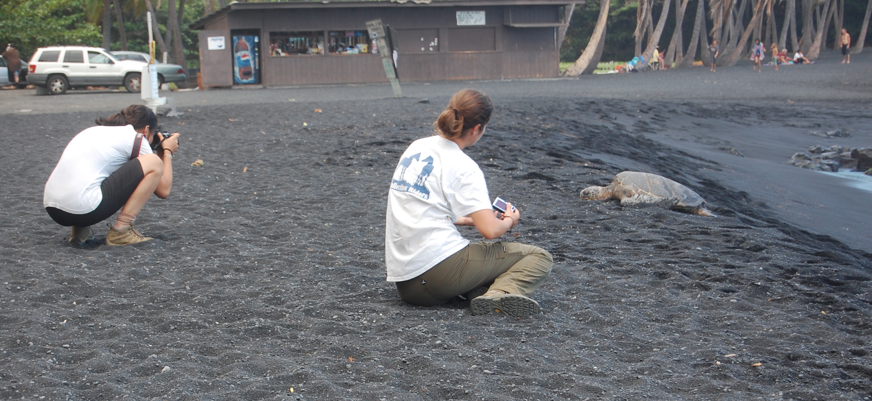 At the end of the day, we all enjoyed a couple R&R stops on our last day out and about on the big island. To pep up a bit and enjoy some of the local offerings, we stopped at the southernmost bakery in the United States, where we sampled sweets made with a spread of local ingredients. As the last stop of the day, we went to a beach with endangered sea turtles. The turtles were basking on the beach before their egg laying season, giving ample opportunity for photos.
As we finish up our time here in Hawaii, we are all sitting in the hall of our dorm, compiling our pictures and polishing up our reports. Meanwhile we’re also trying to pack up to fly home in the morning. Many of us have a few scrapes or blisters (and in some cases, gouges or rashes), and we are all undoubtedly exhausted from the past week of solid field work and reporting, an experience that is very new to many of us. Nevertheless, we are leaving here nothing short of enriched. We have gained companionship, countless inside jokes, and of course, priceless knowledge. This knowledge is something that cannot be obtained in a classroom alone. We have gotten the opportunity to see with our own eyes what we have only been told about before (or at best shown pictures or samples). This has allowed us to recognize the not only many geologic processes outside of the classroom, but also to realize the scales on which they occur. If trekking 12+ miles across vast fields of A’a and Pahoehoe flows doesn’t give you a feel for the magnitude of island volcanism, nothing will. We are all lucky to have had this opportunity, and once we get a chance to rest and recover, hopefully we will all jump at any such opportunities that come our way in the future. I surely speak for all of us when I say that we are very grateful for the efforts of our professors for making this possible, and for working with us to get through the parts that weren’t easy.
| Stop # | 1 | 2 | 3 | 4 | 5 | 6 |
| Latitude '18.' | .92006 | .93487 | .93687 | .93606 | .93687 | .93640 |
| longitude '155.' | .67052 | .64663 | .64611 | .64490 | .64611 | .64630 |
Prepared by Jesse Vavrek, Hung Pham, and Caitlin Traver
- 2200 reads